
EU legislators are considering a form of regulation that could protect many species from unsafe exploitation — if it’s done right.
EU legislators are considering a form of regulation that could protect many species from unsafe exploitation — if it’s done right.
TOP STORIES

In Zimbabwe, traditional conservation methods offer new hope for this heavily trafficked, reclusive, and shy animal.

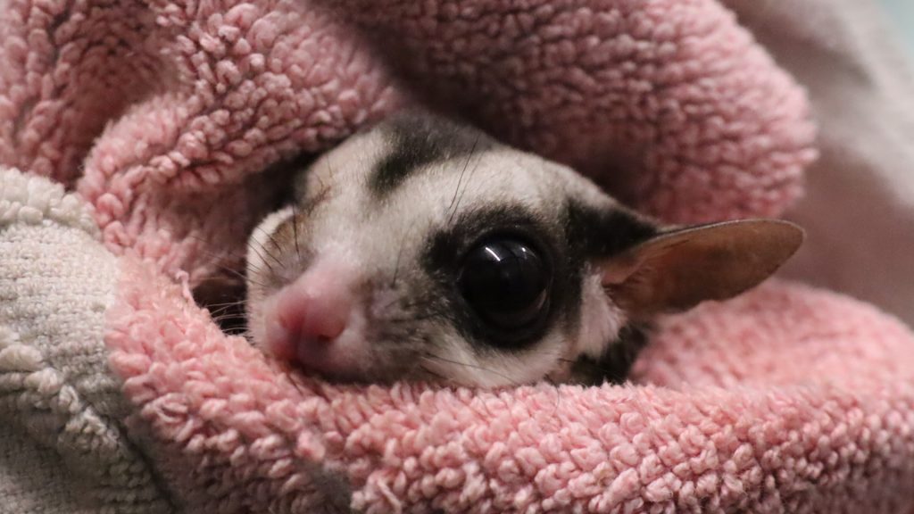
A new paper finds that we’re failing these “small-bodied mammals” — and that comes with a cost to ecosystems around the world.
Sign up to get The Revelator’s weekly newsletter
HEADLINES

Half a century after the novel’s publication, the Glen Canyon Dam still stands, now home to the world’s largest mud puddle.

Plant repositories provide crucial links between plants, botanists, and the rest of us. But their already-shrinking budgets face new threats from the Trump administration.

From chimpanzees and wolves to snakes and starlings, these new books capture hidden truths about fascinating species — and reveal how to better protect them.

A potential titanium mine threatened the famous swamp — until activists and local journalists stepped in.

This widely popular regulation protects 58.5 million acres of national forests and 1,600 at-risk species. The Trump administration wants gut it.

New research into the turtle-meat trade reveals that assumptions and unsubstantiated claims could hurt conservation efforts.

Our annual recommendations offer ways to recharge, make the most of the season, and come back ready to fight for progress.

Are you ready to organize your first event on behalf of the planet? Here are some great ideas and tips on how to make it successful.

Emily Donovan wants to “make the polluters pay” for what they’ve done to her North Carolina community, and others around the country.
ABOUT
 The Revelator, an environmental news and commentary initiative of the Center for Biological Diversity, provides editorially independent reporting, analysis and stories at the intersection of politics, conservation, art, culture, endangered species, climate change, economics and the future of wild species, wild places and the planet.